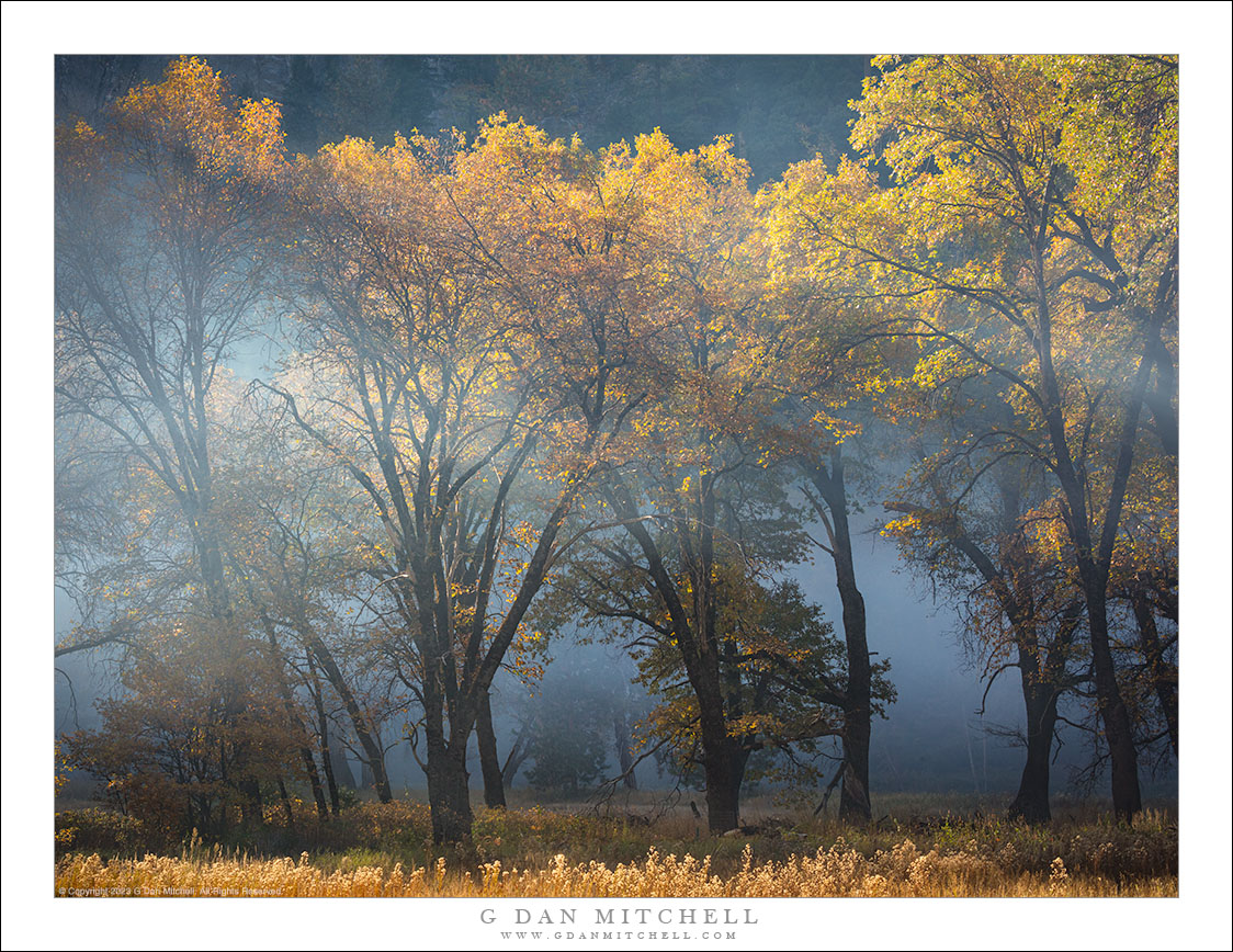
It isn’t news that California and the West have been suffering under an extreme and long-lasting heat wave. Here in the San Francisco Bay Area it has been bad — though clearly it is much worse in other locations. This week I finally had enough, and I drove over the hills to the coast early in the morning to seek out fog. I found it! In fact, it was so thick on the coast (where the temperature was a blessed 55 degrees) that it interfered with my intended photography. So I followed side roads that took me inland to the edge of the fog, where soft light was starting to illuminate the landscape.
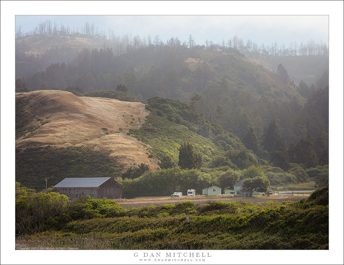
By most measures, this is a rather nondescript location. (I actually parked in from of a CalFire Station.) But across the small valley, trees led up the hillside, catching the soft light that was just barely penetrating the fog. There’s an additional detail here: A large wildfire swept through a few years back, denuding the landscape in many places. These trees at the bottom of the valley were spared, but you can see skeleton of dead trees on top of the ridge.
G Dan Mitchell is a California photographer and visual opportunist. His book, “California’s Fall Color: A Photographer’s Guide to Autumn in the Sierra” is available from Heyday Books, Amazon, and directly from G Dan Mitchell.
Blog | About | Instagram | Flickr | Facebook | Threads | Post | Email
Links: Articles, Sales and Licensing, my Sierra Nevada Fall Color book, Contact Info.
Scroll down to share comments or questions. (Click post title first if viewing on the home page.)
All media © Copyright G Dan Mitchell and others as indicated. Any use requires advance permission from G Dan Mitchell.